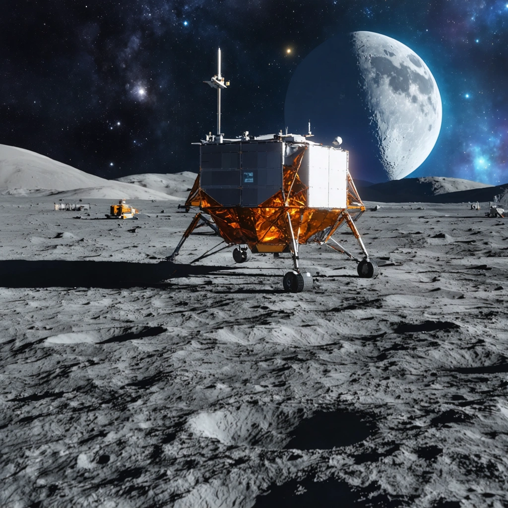
Revolutionizing Lunar Navigation with GPS
In a historic move, Firefly Aerospace’s Blue Ghost recently became the first commercial lunar lander to land on the moon. This milestone is significant not just for the successful landing, but also for the groundbreaking navigation technology it demonstrated. In collaboration with NASA, the mission successfully employed Earth-based GPS signals on the lunar surface, marking a monumental advancement for future moon missions.
Why GPS on the Moon?
Reliable and precise navigation is crucial for astronauts navigating the lunar surface. Traditional GPS tools, however, are rendered ineffective roughly 225,000 miles away from Earth. A potential solution lies in transmitting data from the Global Navigation Satellite System (GNSS) to the moon to autonomously calculate time, velocity, and position. This is precisely what mission engineers from NASA and the Italian Space Agency aimed to prove with the Lunar GNSS Receiver Experiment (LuGRE), one of ten projects aboard Blue Ghost.
Breaking Records Even Before Touchdown
LuGRE doesn’t only boast achievements after its lunar landing. On its way to the moon, the instrument shattered NASA’s record for the highest altitude GNSS signal acquisition, reaching 209,900 miles from Earth. This record soared to 243,000 miles after the craft entered lunar orbit.
Benefits of GNSS for Spacecraft Navigation
NASA currently relies on a combination of onboard sensors and Earth-based tracking signals to navigate spacecraft, a method that demands constant oversight from engineering teams. Employing GNSS data could significantly reduce the need for human operators as these signals can be autonomously picked up by spacecraft. As Kevin Coggins, deputy associate administrator for NASA’s SCaN (Space Communications and Navigation) Program put it, “On Earth we can use GNSS signals to navigate in everything from smartphones to airplanes, now, LuGRE shows us that we can successfully acquire and track GNSS signals at the Moon.”
Future of Lunar Navigation
The LuGRE system, which depended on two GNSS constellations, GPS and Galileo, calculated its position based on dozens of medium Earth orbit satellites that provided real-time tracking data. The system performed its navigational fixes while about 225,000 miles from Earth and is expected to continue collecting information over the next two weeks. As we look to the future, this development promises to revolutionize navigation for lunar missions, making space expeditions more autonomous, precise, and safe.